|
Welcome to the Sudbury River Watershed Organization (SRWO). The
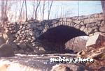
Sudbury River is located within the SUASCO Watershed just West of Boston, Massachusetts in Middlesex and Worcester counties.
The Sudbury rises in the town of Westborough. It then flows easterly as it becomes the border between
the towns of Southborough and Hopkinton before continuing eastward toward the towns of Ashland and Framingham.
Here it flows through a series of reservoirs before moving northerly through the Towns of Wayland, Sudbury, Lincoln and Concord
and the 3600 acre Great Meadows Wildlife Refuge. In Concord it joins with the Assabet River at Egg Rock to form the
Concord River.
|
|
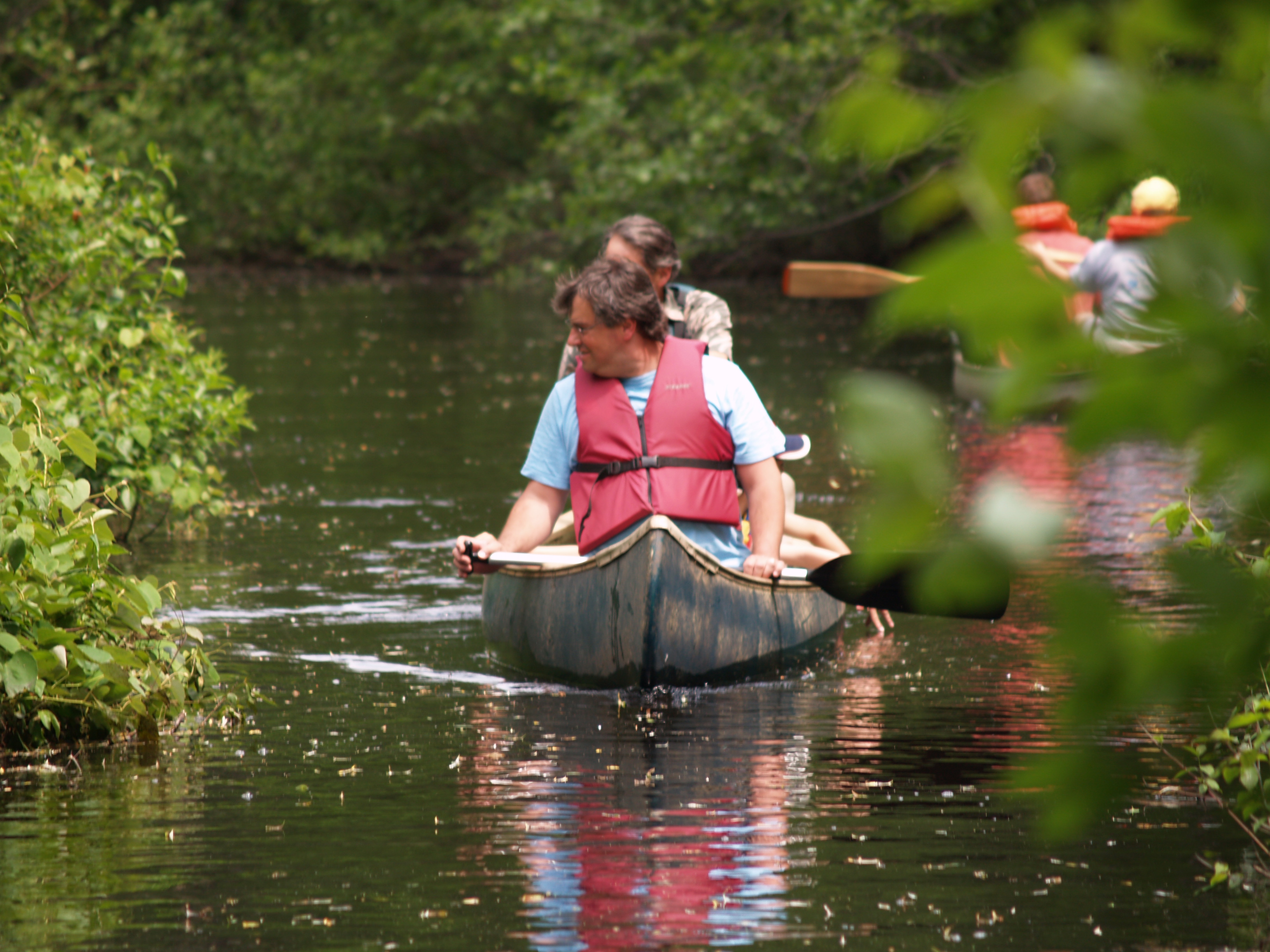
| Click Photo to go to the 2008 Riverfest Album |
|
|
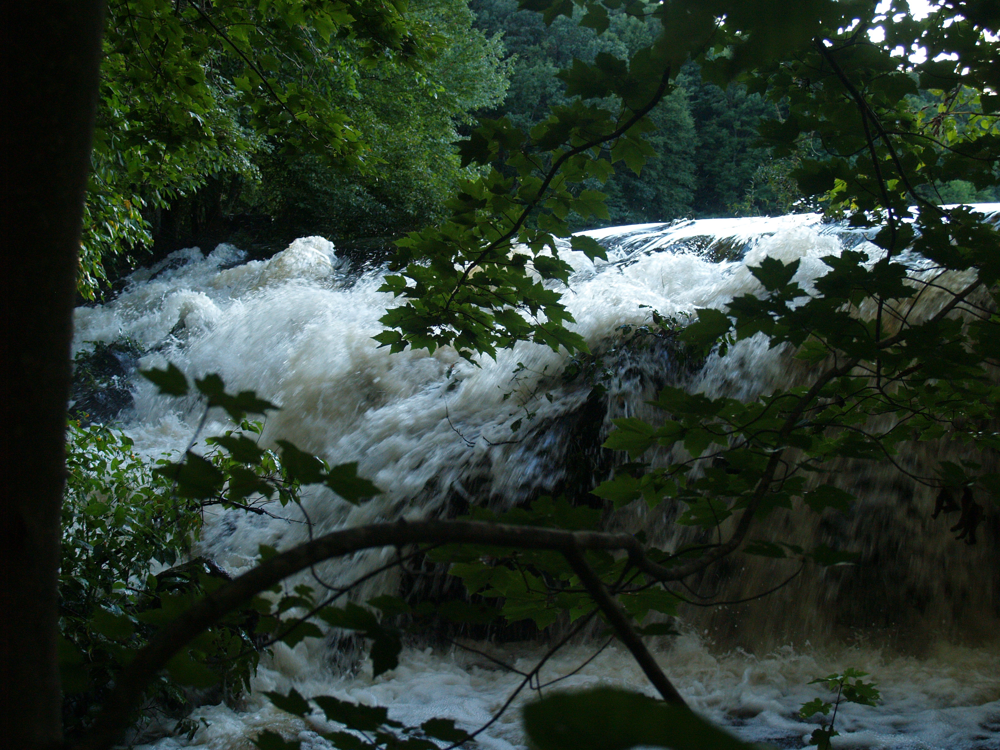
| over the dam, Southborough after 5" of tropical rains |
Nyanza dedicated page. Find studies, reports and information
Nyanza, Ashland, Massachusetts
Click here for Nyanza Information, Reports and Studies
Saxonville/Sudbury River USGS Gauge
|